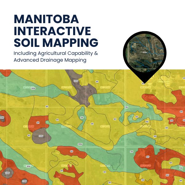
The Trusted Manitoba Soil Map, Now Even Better: Subscribe for Enhanced Soil Insights
For over a decade, our Manitoba Soil Map has been a trusted resource for agronomists, farmers, and land developers. Now, we're excited to unveil its next evolution! This upgraded version is only available by subscription, ensuring ongoing maintenance and development.
Essential Manitoba soil analysis tool for agronomists, farmers, and land professionals. Access detailed agricultural capability, soil class, drainage, texture, slopes, and more. Subscribe for data-powered land management.
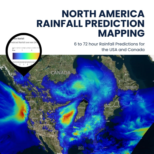
Advanced Rainfall Predictor: USA & Canada Forecast Map
Get accurate rainfall forecasts with our Advanced Rainfall Predictor. Utilizing Environment Canada's data, our map covers the entire USA and Canada, providing median scenario predictions for 6-72 hours ahead. Essential for farmers, agriculture service providers, construction professionals, event planners and outdoor professionals.
Our advanced online rainfall map provides real-time, detailed forecasts for the USA and Canada using reliable Environment Canada data. Updated four times daily, it forecasts rainfall for 6-72 hours with an easy-to-read color-coded interface. Ideal for agriculture, event planning, and construction professionals. Subscribe for precise, actionable weather insights.
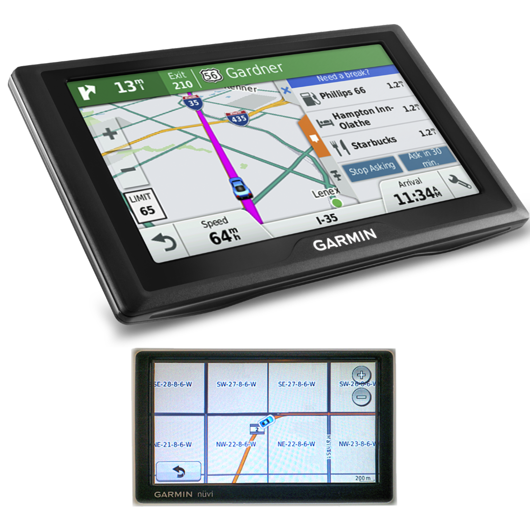
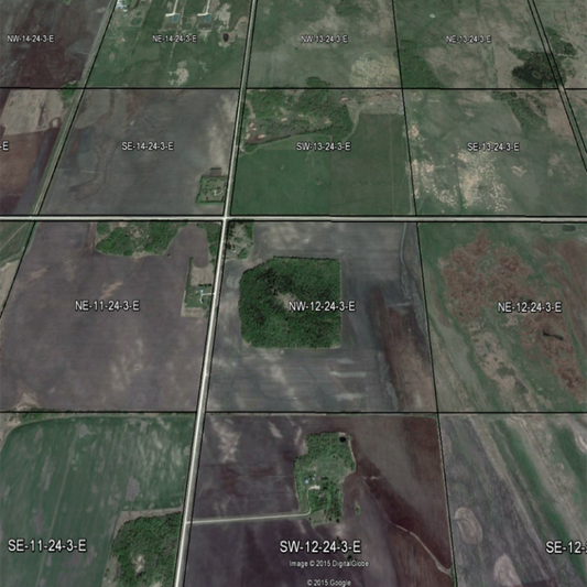
Find Any Quarter Section, Anytime

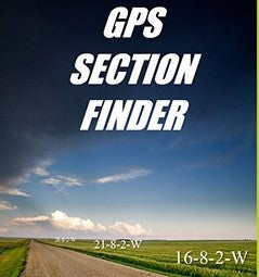
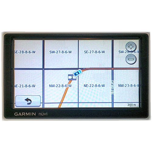
Google Earth Prairie Quarter Section Overlays
-
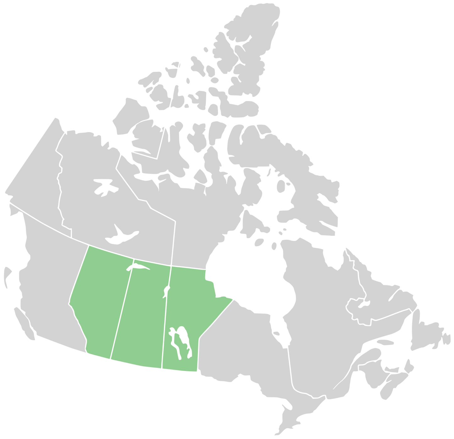
Google Earth Municipality Qtr Section Overlays SASKATCHEWAN ONLY
Regular price $99.00 CADRegular priceUnit price per -
Google Earth Municipality or County Qtr Section Overlays MB SK AB
Regular price $199.00 CADRegular priceUnit price per$297.00 CADSale price $199.00 CADSale -
Google Earth Municipality Qtr Section Overlays MANITOBA ONLY
Regular price $99.00 CADRegular priceUnit price per -
Google Earth Municipality Qtr Section Overlays ALBERTA ONLY
Regular price $99.00 CADRegular priceUnit price per


Land Location to GPS Coordinates CSV Tables
-
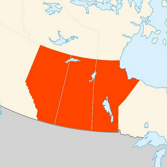
Canadian Prairies Legal Land Descriptions to Latitude/Longitude CSV Database
Regular price $299.00 CADRegular priceUnit price per$375.00 CADSale price $299.00 CADSale -
Saskatchewan Legal Land Descriptions to Latitude/Longitude CSV Database
Regular price $125.00 CADRegular priceUnit price per -
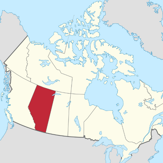
Alberta Legal Land Descriptions to Latitude/Longitude CSV Database
Regular price $125.00 CADRegular priceUnit price per -
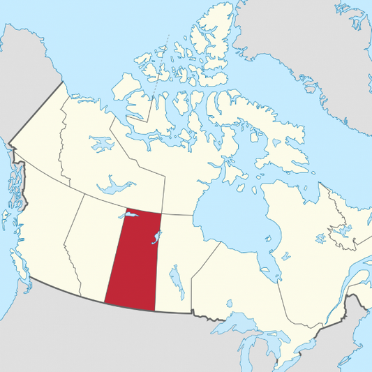
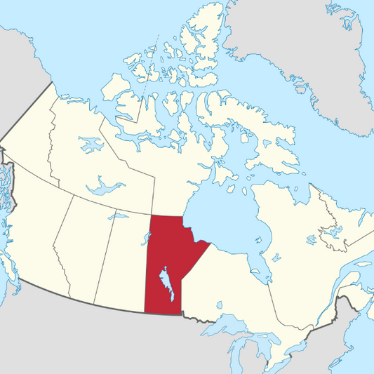
Manitoba Legal Land Descriptions to Latitude/Longitude CSV Database
Regular price $125.00 CADRegular priceUnit price per