
Note to Long-Term Users

Example Included Attributes:
-
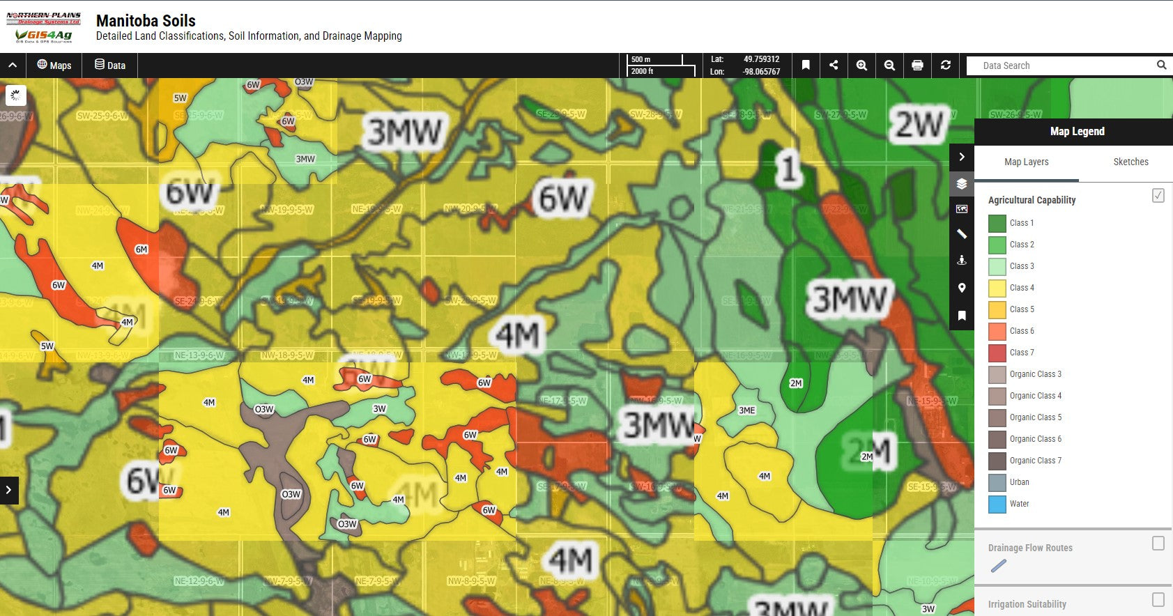
Agricultural Capability:
"Agricultural Capability Classifications" and "Class Groups" for Manitoba farmland, essential for crop planning and land use optimization.
-
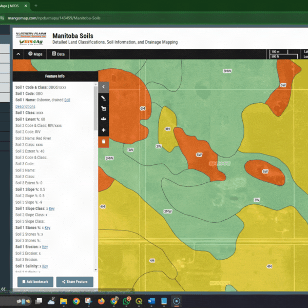
Soil Series Identification:
"Manitoba Soil Series Codes," "Soil Names," and "Soil Classification details."
-
Soil Composition:
"Surface Texture", "Sand, Silt, Clay Percentages", and "Stone Percentage" for Manitoba soils, identifying texture groups for agricultural and development planning.
-
Drainage and Water Management:
"Drainage Class", "Saturated Hydraulic Conductivity", "Salinity Levels," and "Irrigation Suitability" for Manitoba lands, including specialized "Potato Irrigation Ratings."
-
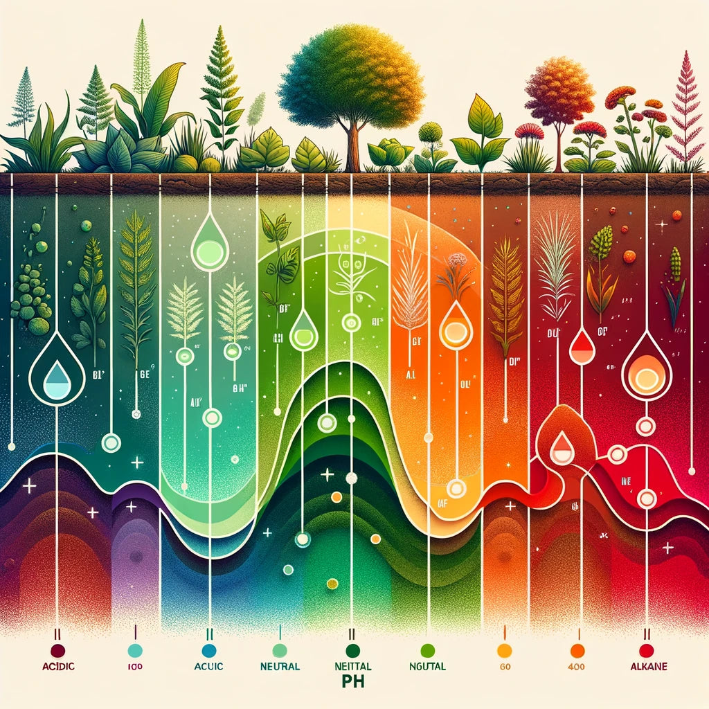
Soil pH
Soil pH (both pH Ca and Ph2) maps for Manitoba soils.
-
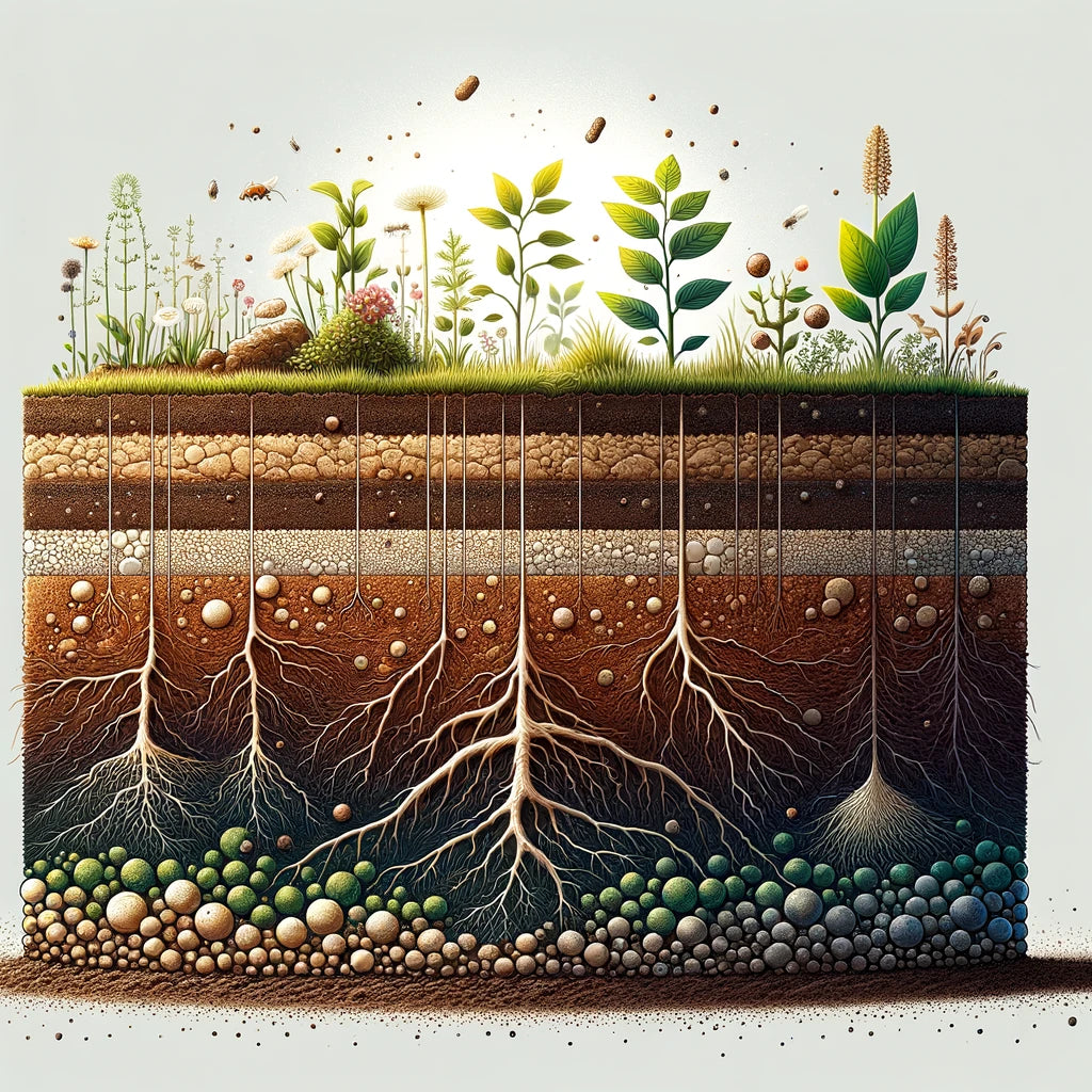
Soil OM & CEC
Typical Soil Organic Matter (organic carbon) and Cation Exchange Capacity ratings for Manitoba Soils
-
Slope Analysis:
Detailed "Slope Percentage," "Slope Class," and "Slope Length" for available Manitoba soil polygons," alongside "Erosion Risk" and "Slope Factors" for land management.
-
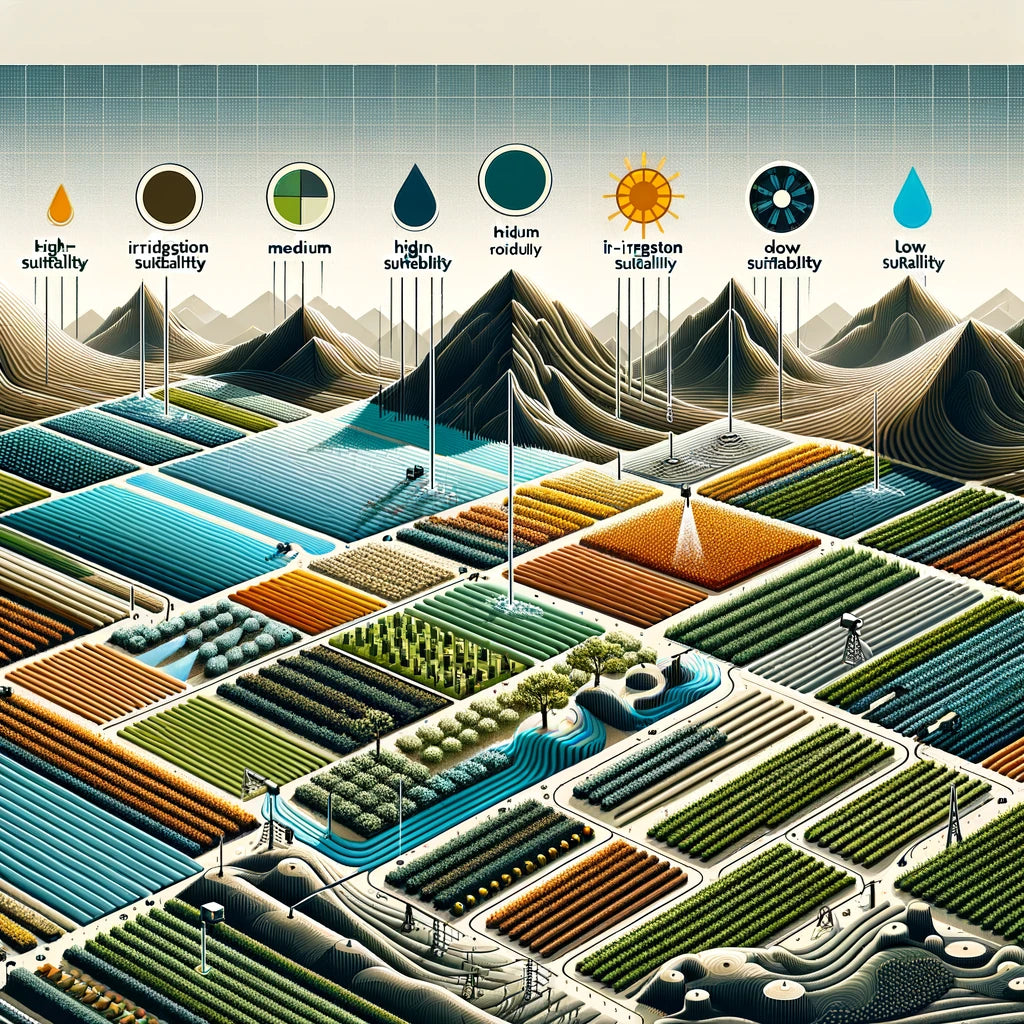
Irrigation Suitability
Discover the suitability of soils throughout Manitoba for Irrigation, as well as the considerations and limiting factors.
-
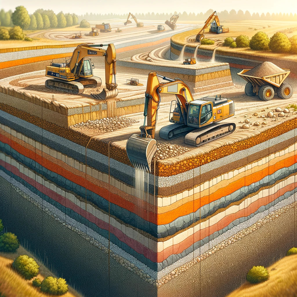
Land Management Considerations:
Insights into "Topsoil Suitability," "Sand/Gravel Usage," and "Roadfill Quality" within Manitoba, plus specific "Building and Landfill Suitability" assessments.
*not available for all locations -
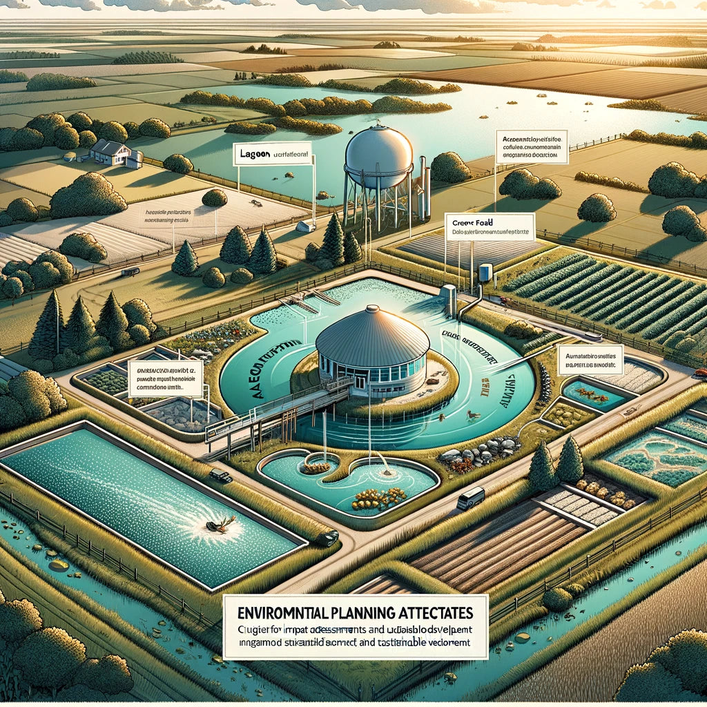
Environmental Planning Attributes:
"Lagoon," "Septic Field," and "Cover Material Suitability" in Manitoba, vital for environmental impact assessments and sustainable development.
*not available for all locations


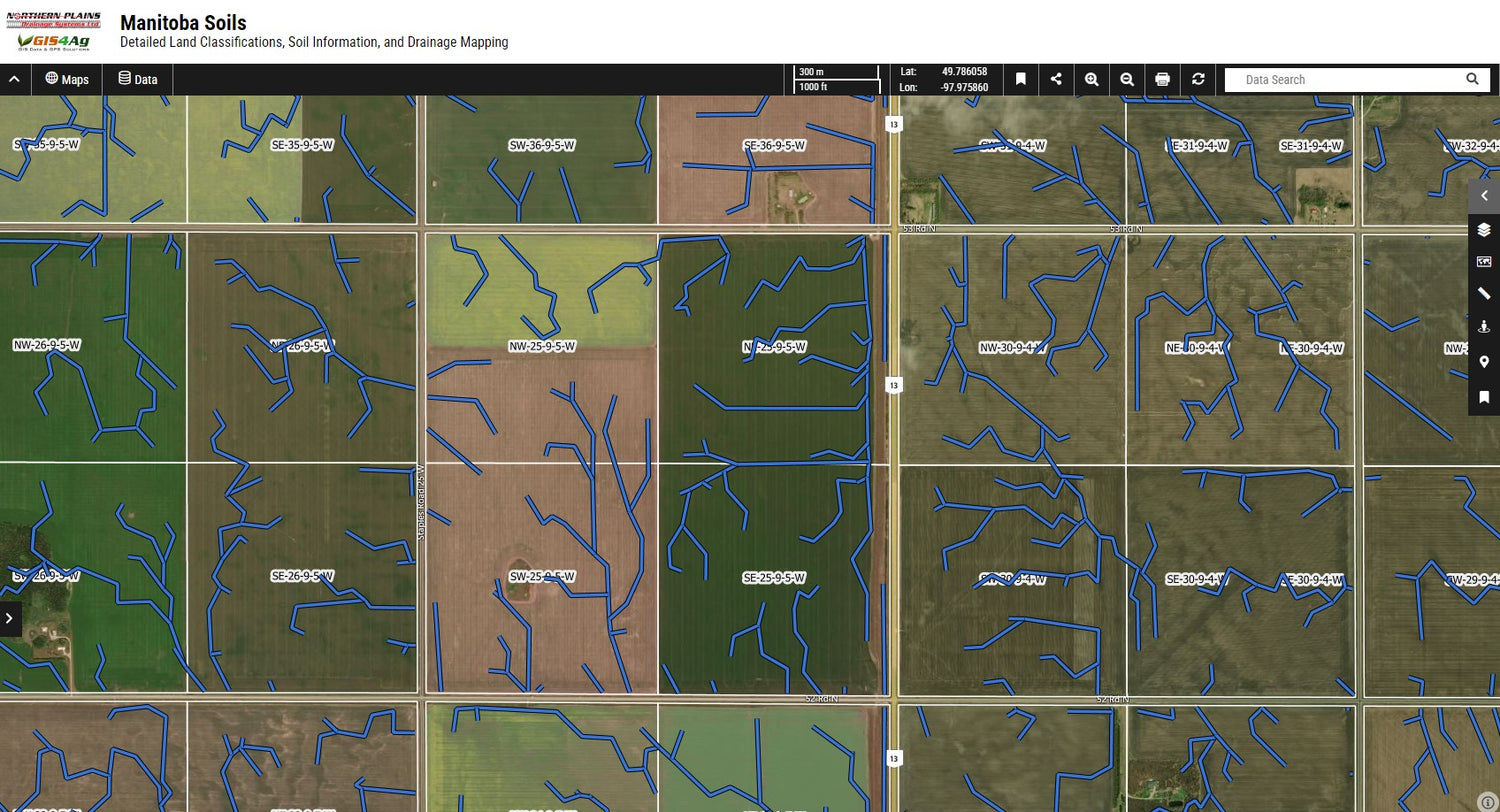
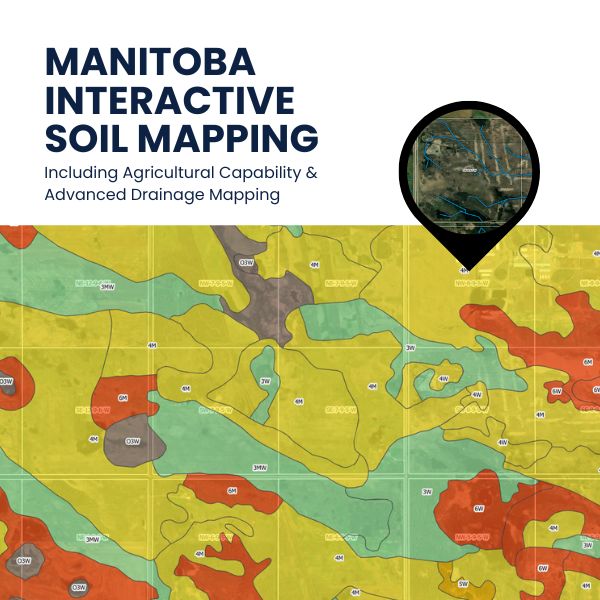
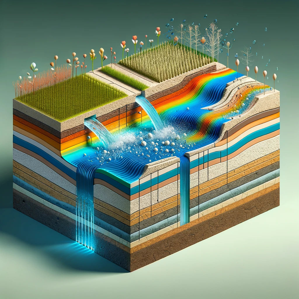
Now with Advanced Drainage Mapping Included
Explore precision agriculture and project planning with our innovative drainage flow routes layer, essential for Manitoba's water management. Empowering farmers, aiding agronomists, and informing consultants, this tool visualizes natural water flows and efficient drainage paths, making it vital for boosting land productivity and sustainability.
Note: Drainage Flow routes are are view-only and data are not available for download in this platform
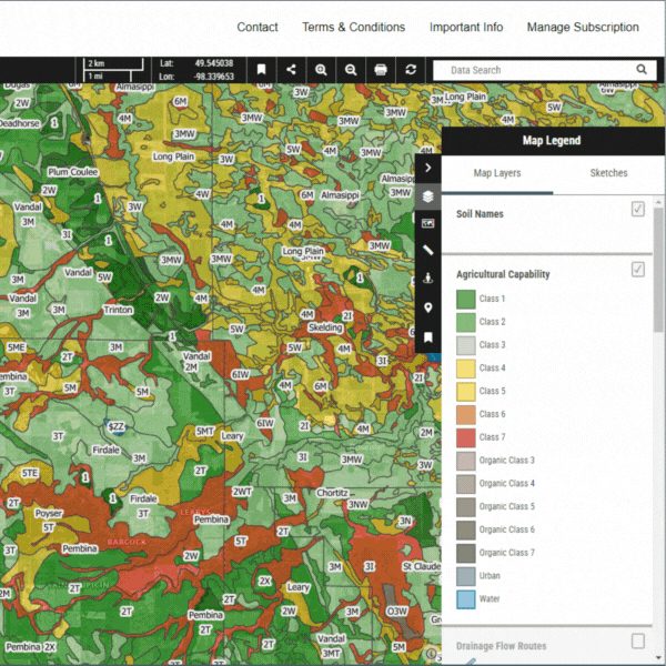
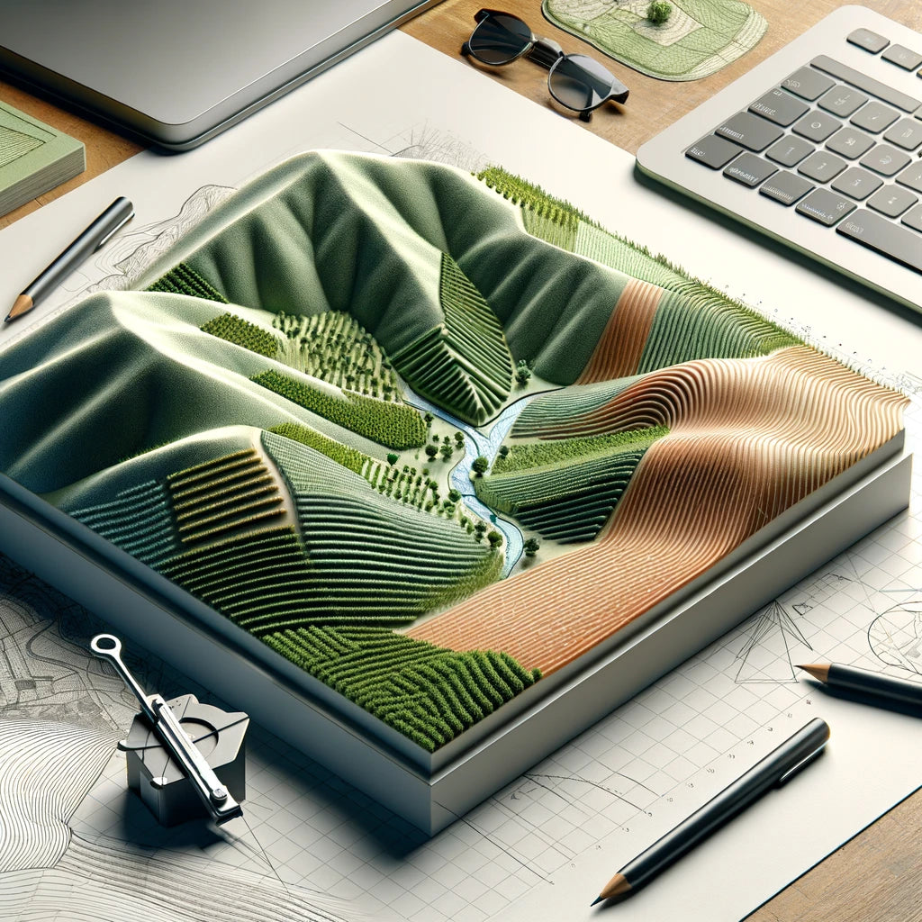
Uncover Soil Information: Layer by Layer
Visualize Soils with Our Interactive Map Layers
Explore our interactive map's diverse layers, from agricultural capability to pH levels and clay content, offering a detailed glimpse into Manitoba's soil health. Perfect for professionals and enthusiasts alike, this tool illuminates crucial soil characteristics with a simple click, supporting smarter land use and sustainable practices.
Instant Access to In-Depth Soil Series Knowledge
Dive Deeper into Soil Series
Enhance your understanding of Manitoba's soils with direct access to comprehensive soil series descriptions. A simple click on any soil name within our map viewer instantly opens a searchable PDF document, providing you with extensive details on every soil series across the province. From agronomic properties to environmental characteristics, this feature bridges the gap between general data and specialized knowledge, facilitating precise land assessments and strategic planning for farmers, consultants, and researchers alike.
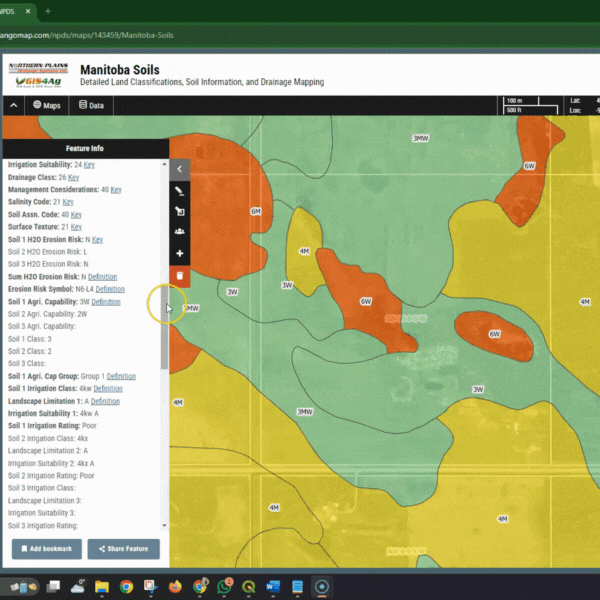
Interactive Soil Insights at Your Fingertips
Unlock Detailed Soil Profiles
Experience the future of land analysis with our dynamic soil map viewer. By simply clicking on any soil polygon, users unlock a treasure trove of detailed information, from agricultural capability to soil texture, drainage, and more. Each attribute is not just a number; we provide easy-to-understand links explaining the significance of these values, ensuring you have the knowledge to make informed decisions. This feature is perfect for anyone seeking to dive deep into the specifics of Manitoba's diverse soil landscape, offering clarity and guidance for land management, agricultural planning, and environmental assessments.